Technically, the course was quite good, with many difficult controls, yet little to argue about upon seeing the solutions. For the first time in Championship competition, the organizers provided competitors with guidance on the tolerance distance for zero answers. This helped to prevent frustration when controls seemed minorly displaced. It was very nice to be able to safely choose a control knowing that the task at hand was not about the difference of one or two meters in control placement.
As of this writing only preliminary results have been released and it seems likely that these include errors in calculating overtime (including for at least one Team USA member) so we will hold off on discussing our personal placings other than to say - there's always Day 2!
Tomorrow is the TempO qualification day. TempO has traditionally been a weak point for Team USA so we figure there is nowhere to go but up. We are hoping for some faster times than in the past and perhaps to not be at the bottom of the results. The top 36 competitors will move on to Thursday's final round.
Control of the Day:
Controls 10 and 18
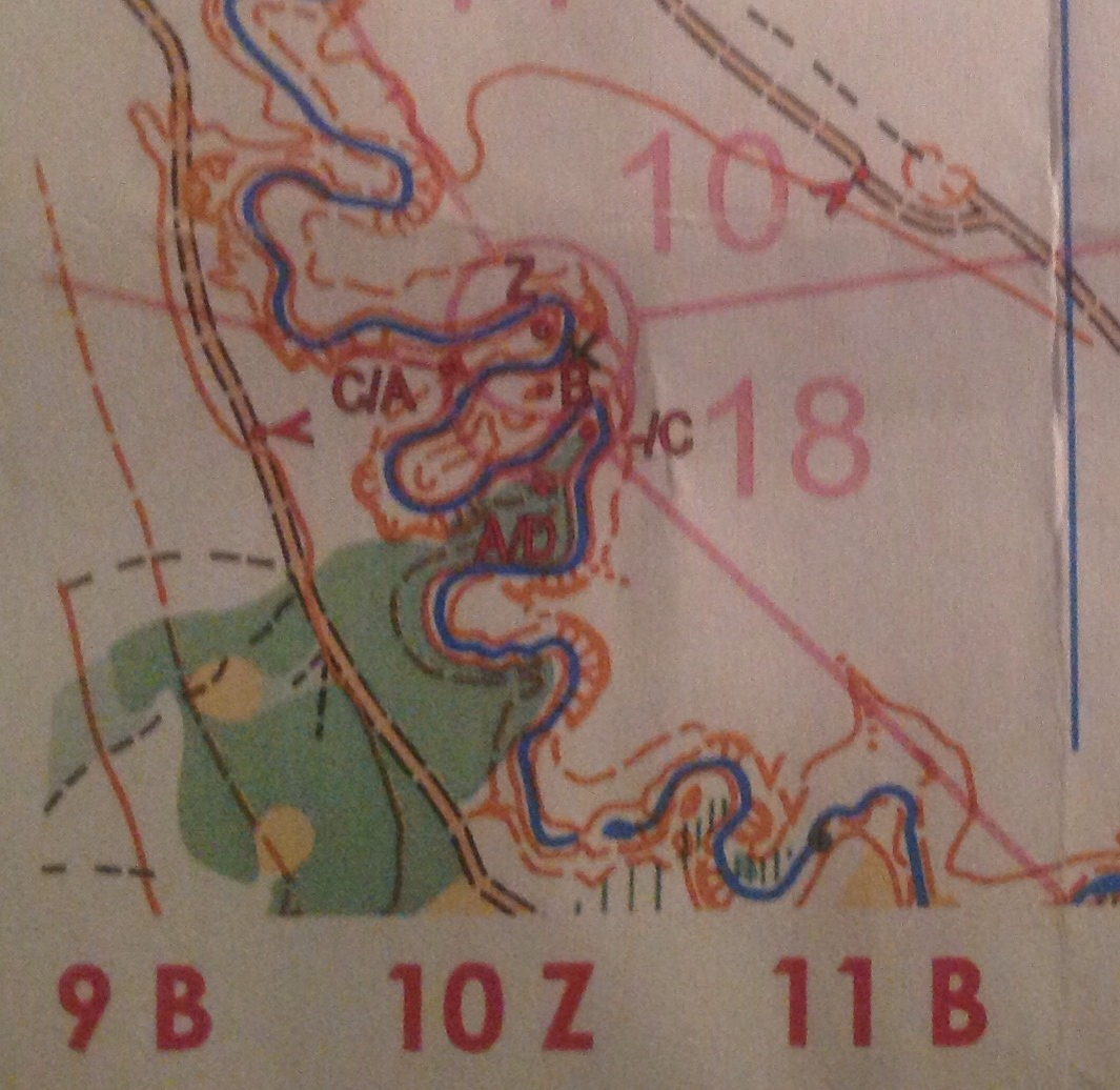


At a break point, we turned in our map and got a new one. This second part of the course traveled southeast on the other trail closer to the river. Now the same controls were used for a new problem. This time it was easy to determine that B was the control on the proper knoll because the view was much closer and you could see what the river was actually doing.
No comments:
Post a Comment